Murchison Six Mile Walk
1 hour 30 minutes Return.
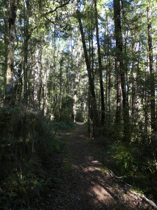
This is a great walk which is easy on a well formed track. The hardest section is right at the beginning but once at the top is a lovely relatively even walk through the forest.
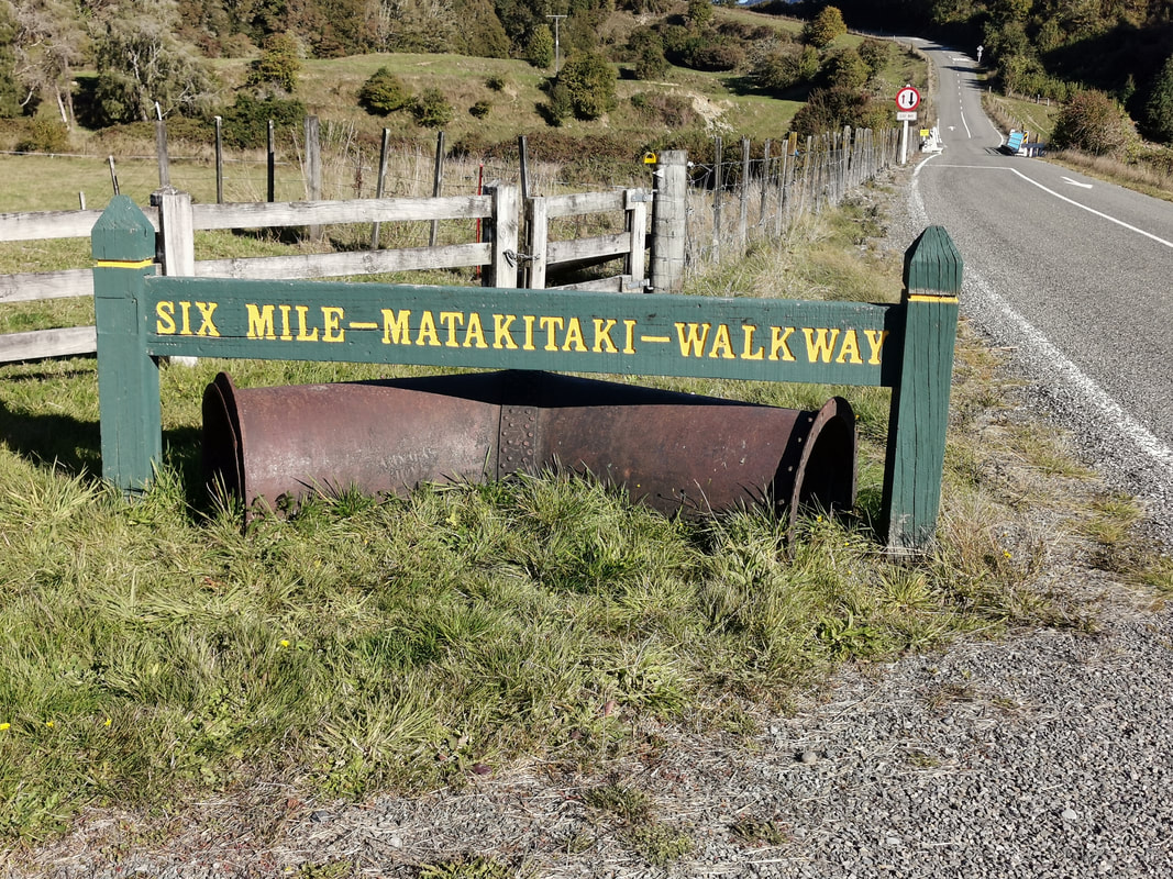
Situated 10 Kilometers south of Murchison on the Matakitaki Road. It is easy to find as the start is well sign posted with a small car park.
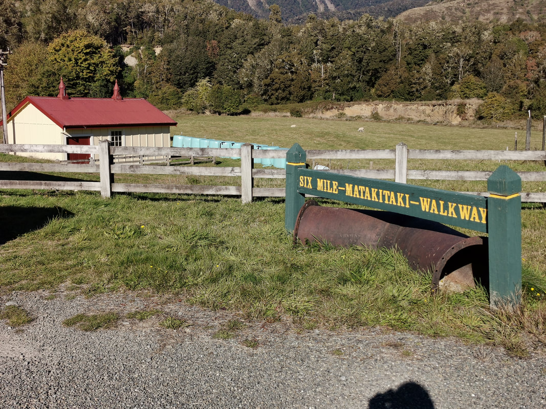
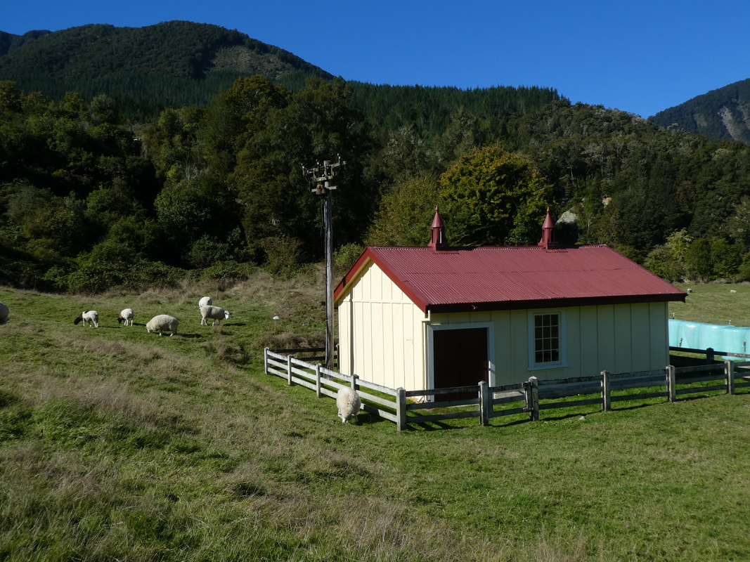
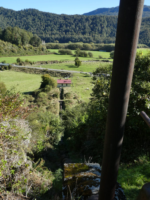
It starts and finishes at the old Six mile hydro power station beside the Six Mile Creek bridge.
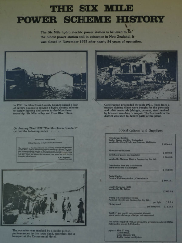
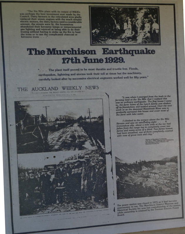
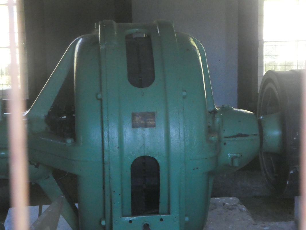
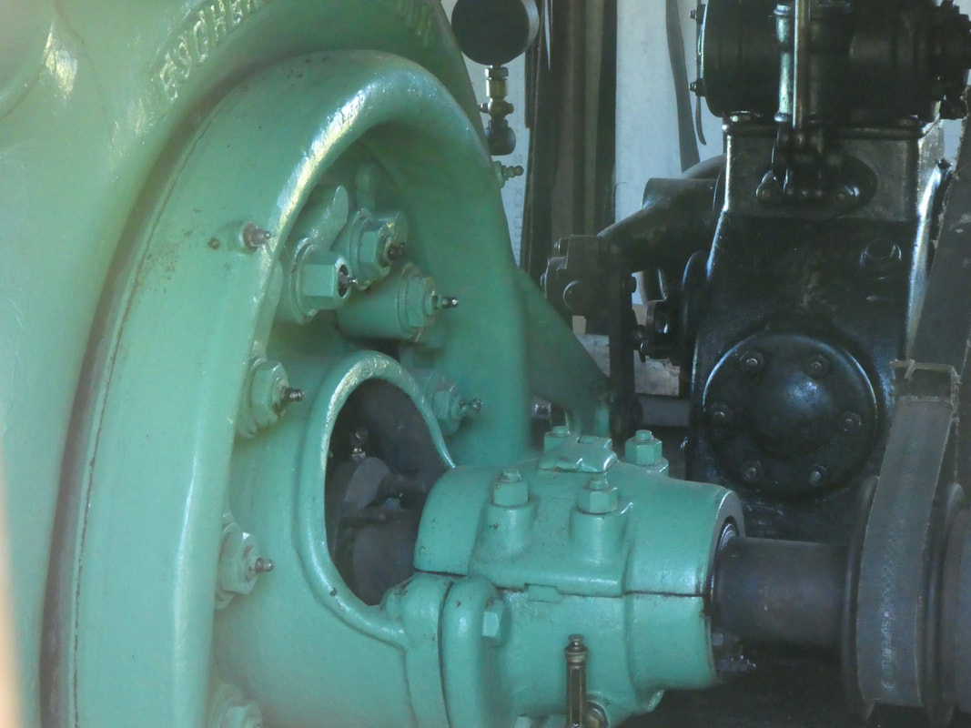
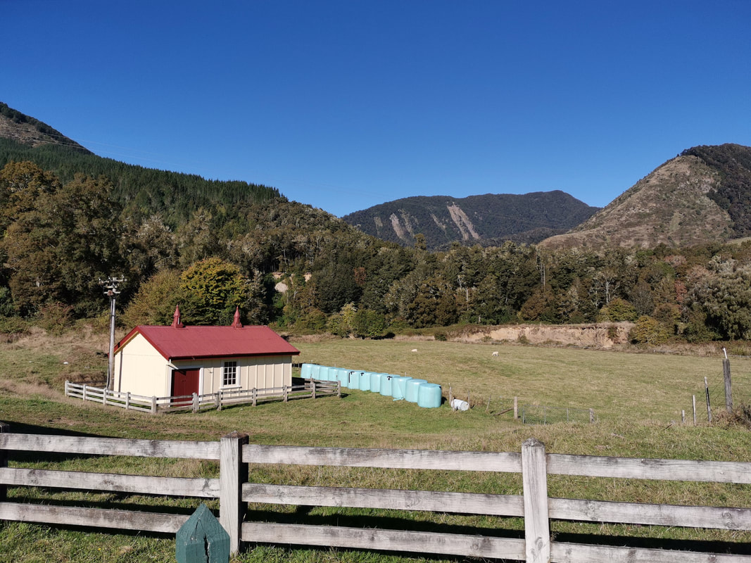
The Power Station
The Power Station and hydro scheme were opened on 25 January 1922 with a public picnic, performances by the town band and a banquet at the Commercial Hotel. It provided power to Murchison and the scattered homesteads in the Six Mile valley and Four Rivers plain. It ran for 54 years before being declared uneconomic and closed in November 1925.
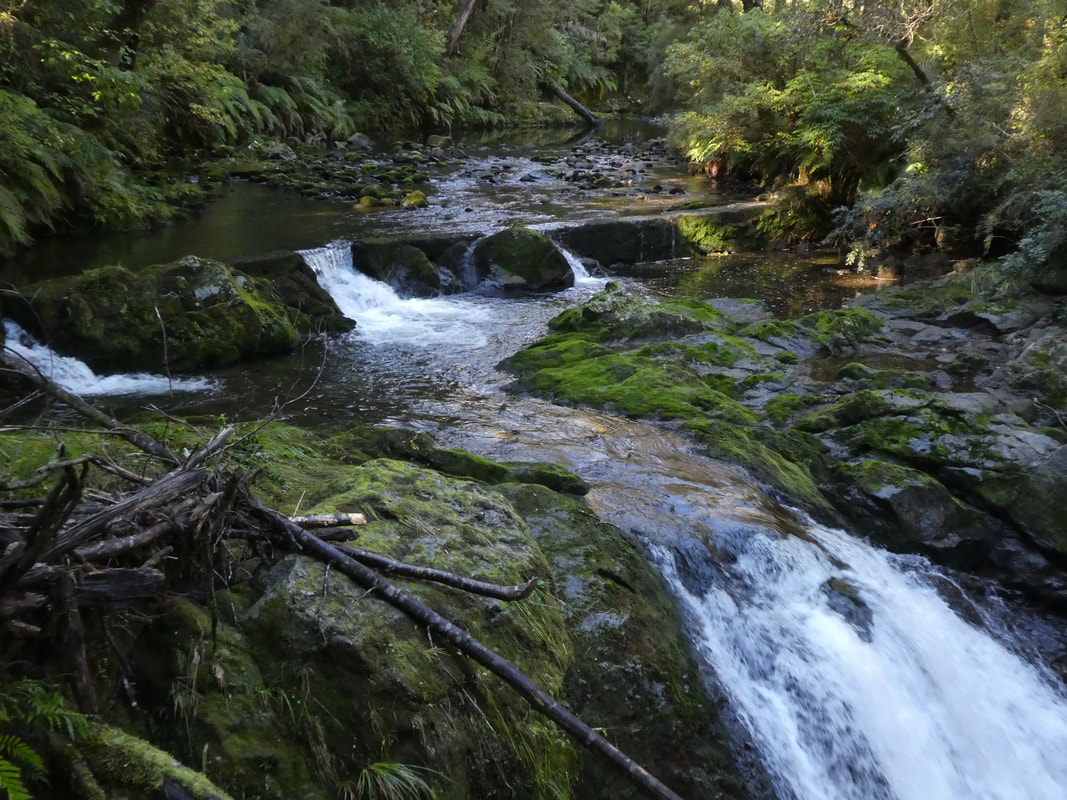
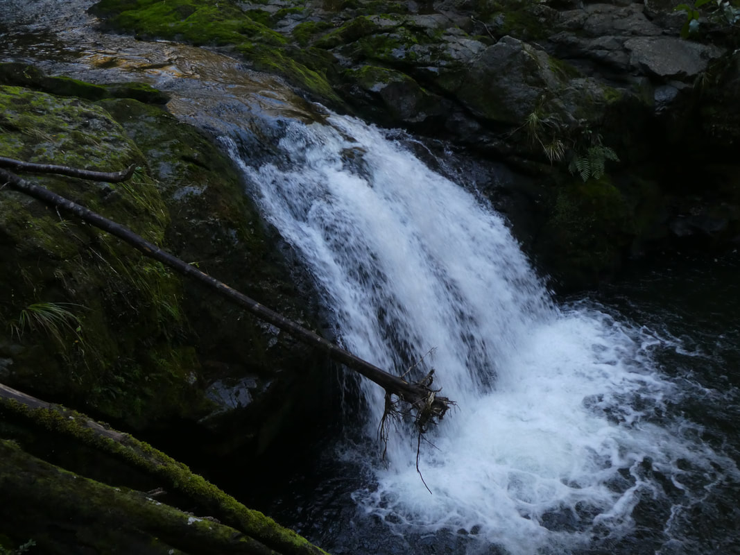
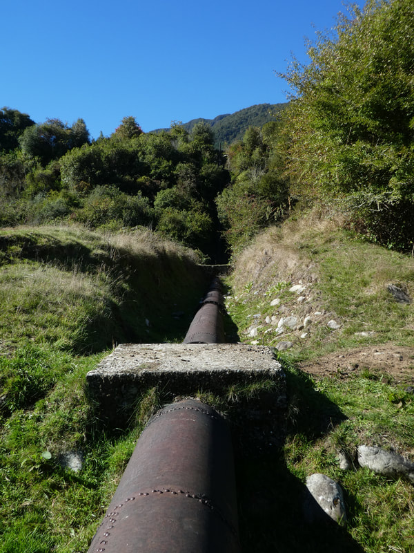
The track zigzags uphill (about 50 vertical metres) beside the old penstock to the intake and water storage reservoir. This height provided the necessary head (fall) for the water to drive the power station turbines.
From here the track follows the water race before continuing through the forest on a higher terrace. It finishes at a viewing platform above the old weir which diverted some of the water down the water race to the reservoir.
Return following the lower track at the junction following the water race before rejoining the main track.
This is a great walk which is easy on a well formed track. The hardest section is right at the beginning but once at the top is a lovely relatively even walk through the forest.
Situated 10 Kilometers south of Murchison on the Matakitaki Road. It is easy to find as the start is well sign posted with a small car park.
It starts and finishes at the old Six mile hydro power station beside the Six Mile Creek bridge.
The Power Station
The Power Station and hydro scheme were opened on 25 January 1922 with a public picnic, performances by the town band and a banquet at the Commercial Hotel. It provided power to Murchison and the scattered homesteads in the Six Mile valley and Four Rivers plain. It ran for 54 years before being declared uneconomic and closed in November 1925.
The track zigzags uphill (about 50 vertical metres) beside the old penstock to the intake and water storage reservoir. This height provided the necessary head (fall) for the water to drive the power station turbines.
From here the track follows the water race before continuing through the forest on a higher terrace. It finishes at a viewing platform above the old weir which diverted some of the water down the water race to the reservoir.
Return following the lower track at the junction following the water race before rejoining the main track.
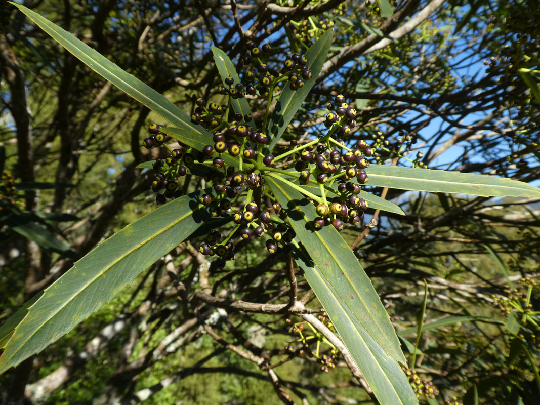
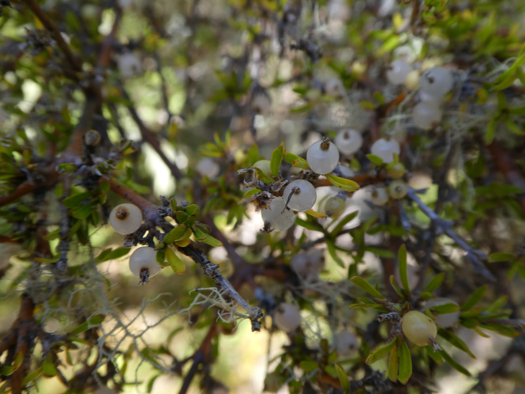
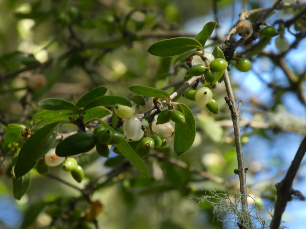
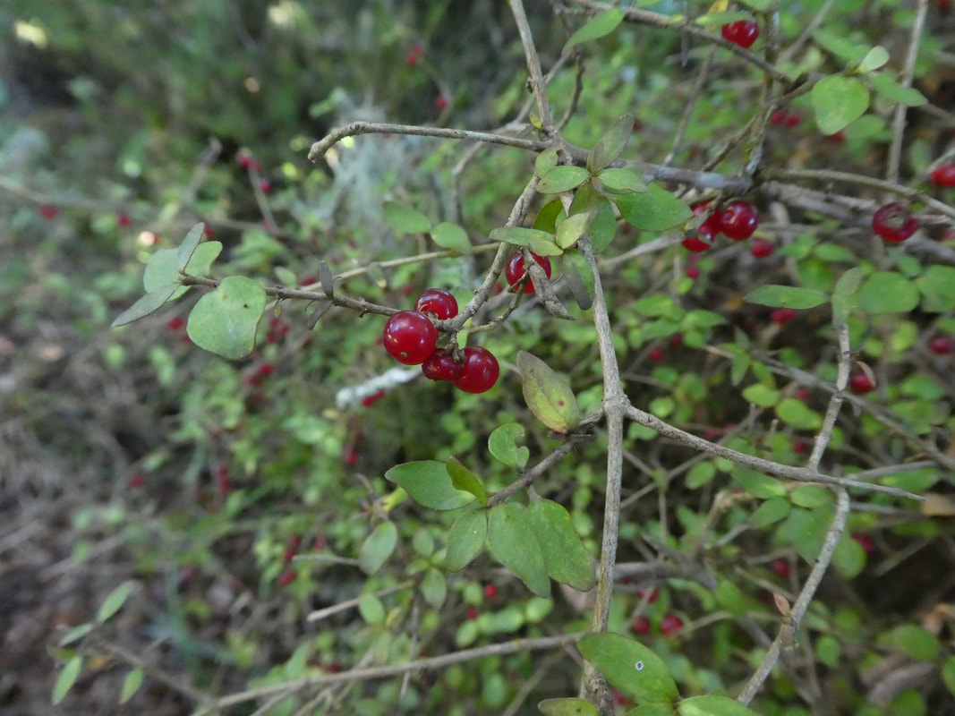
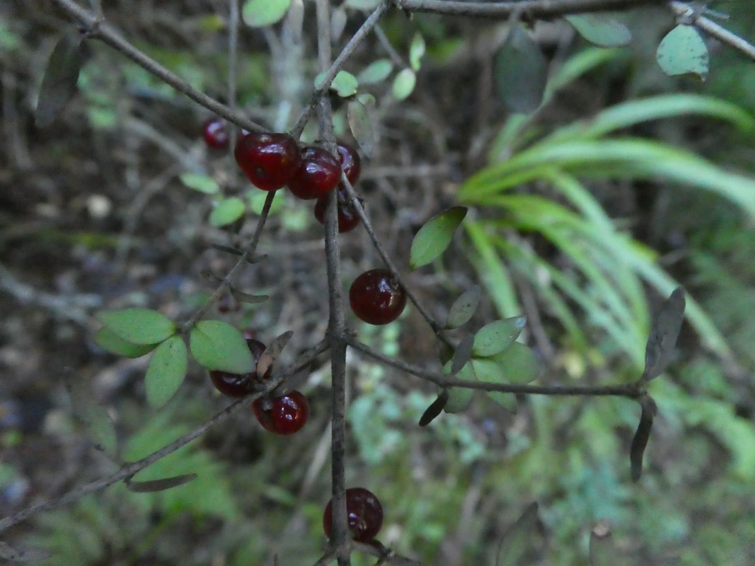
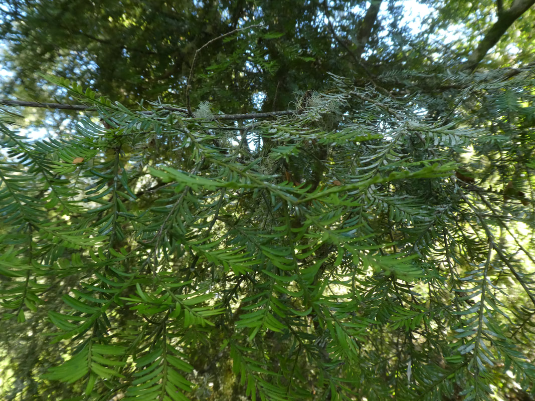
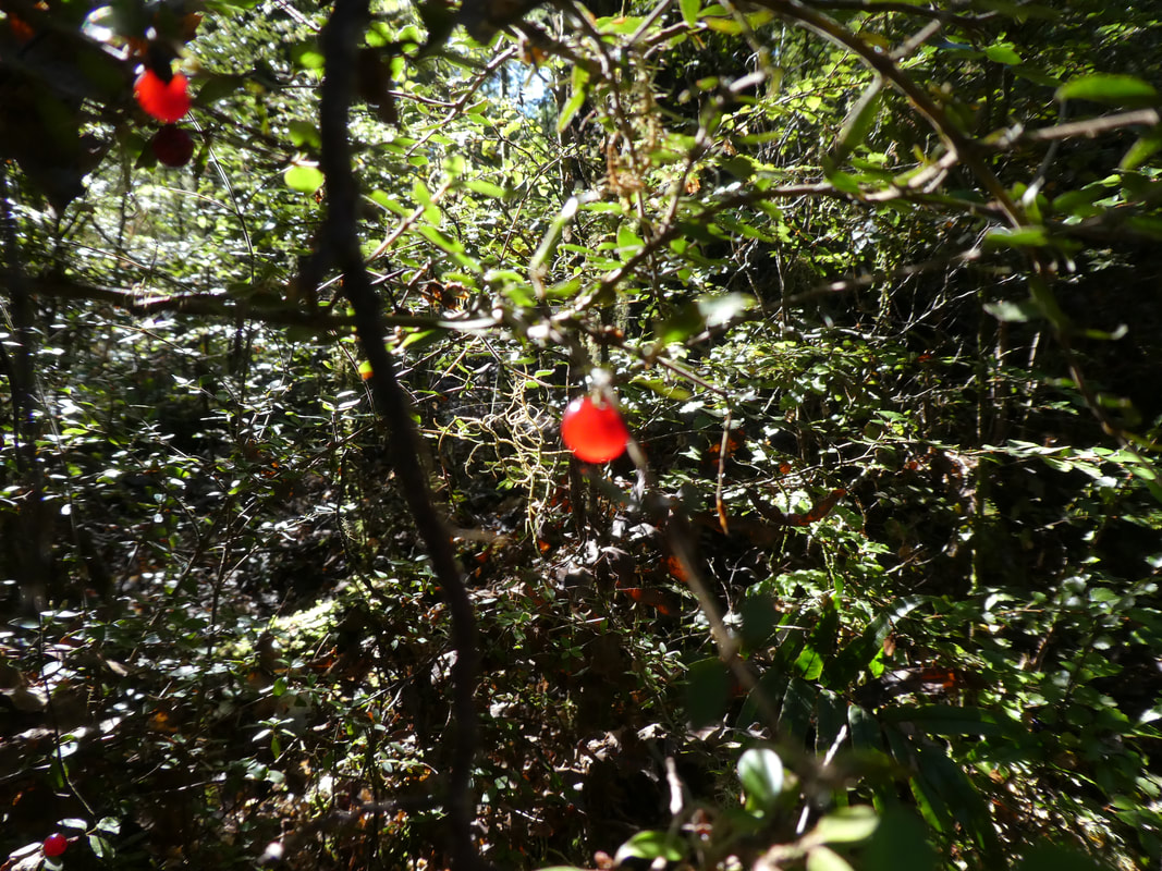
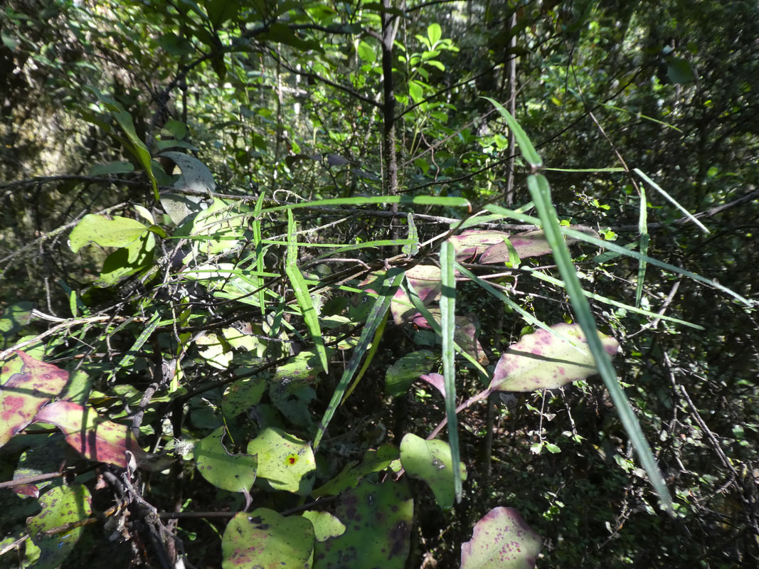
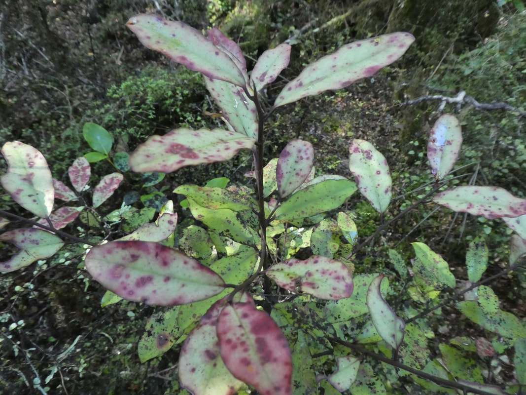
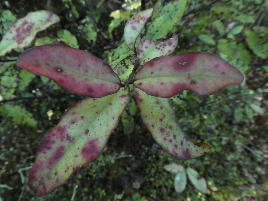
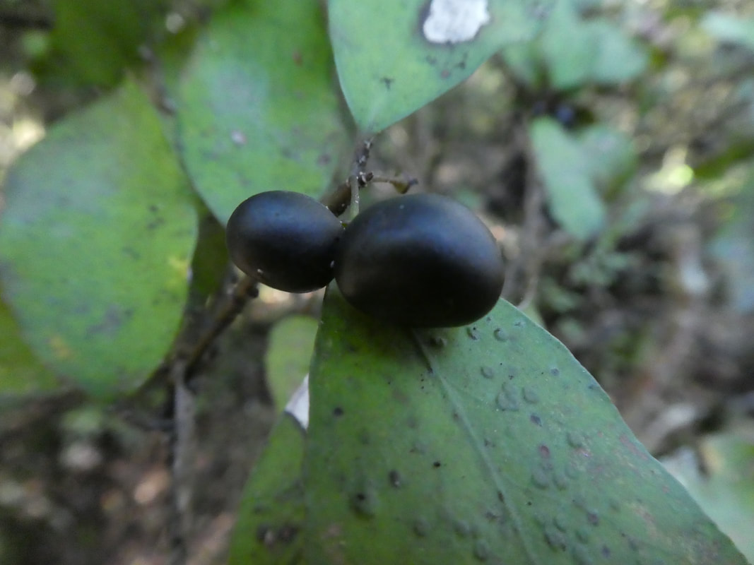
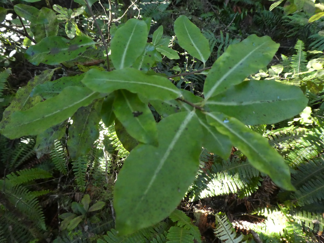
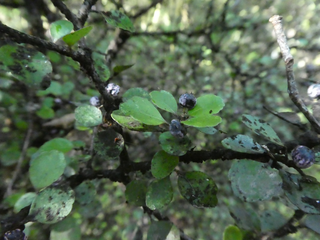
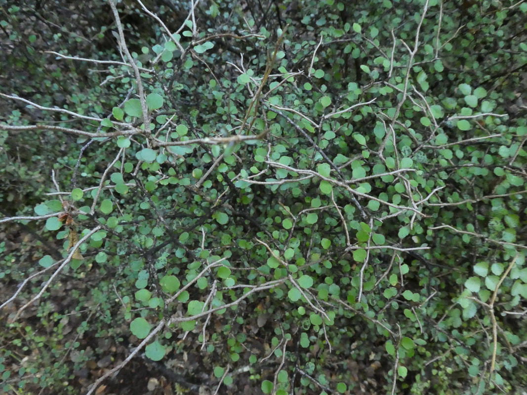
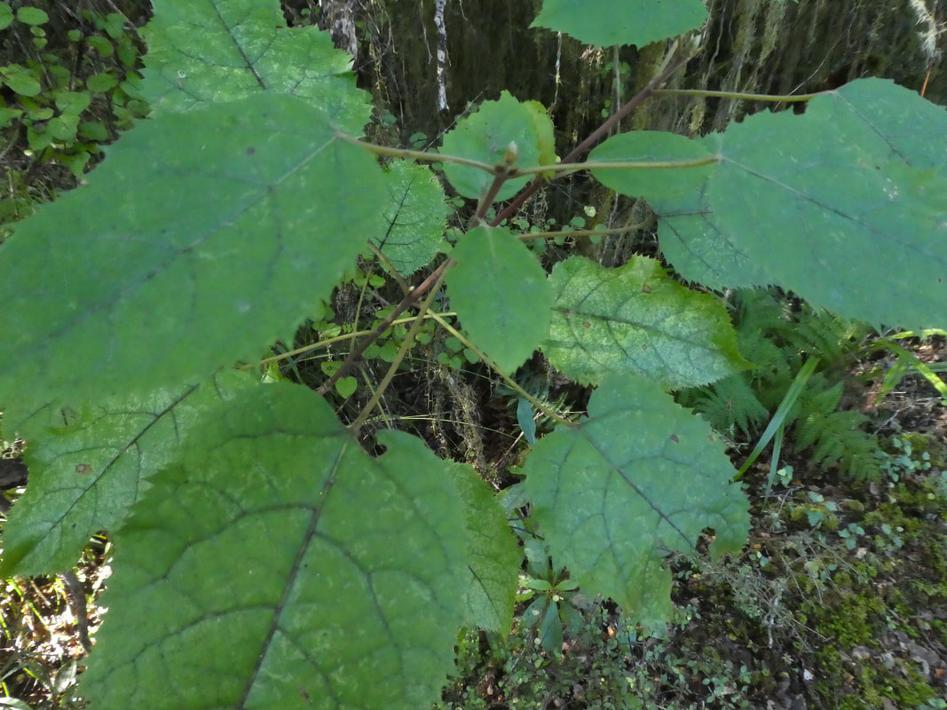
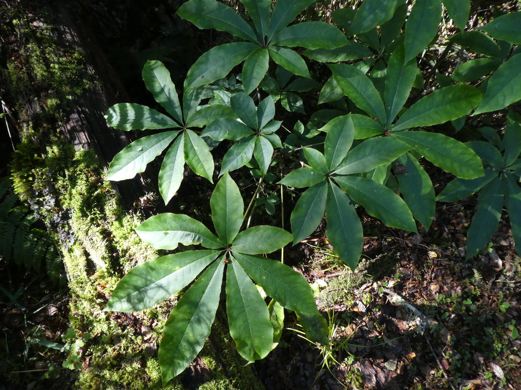
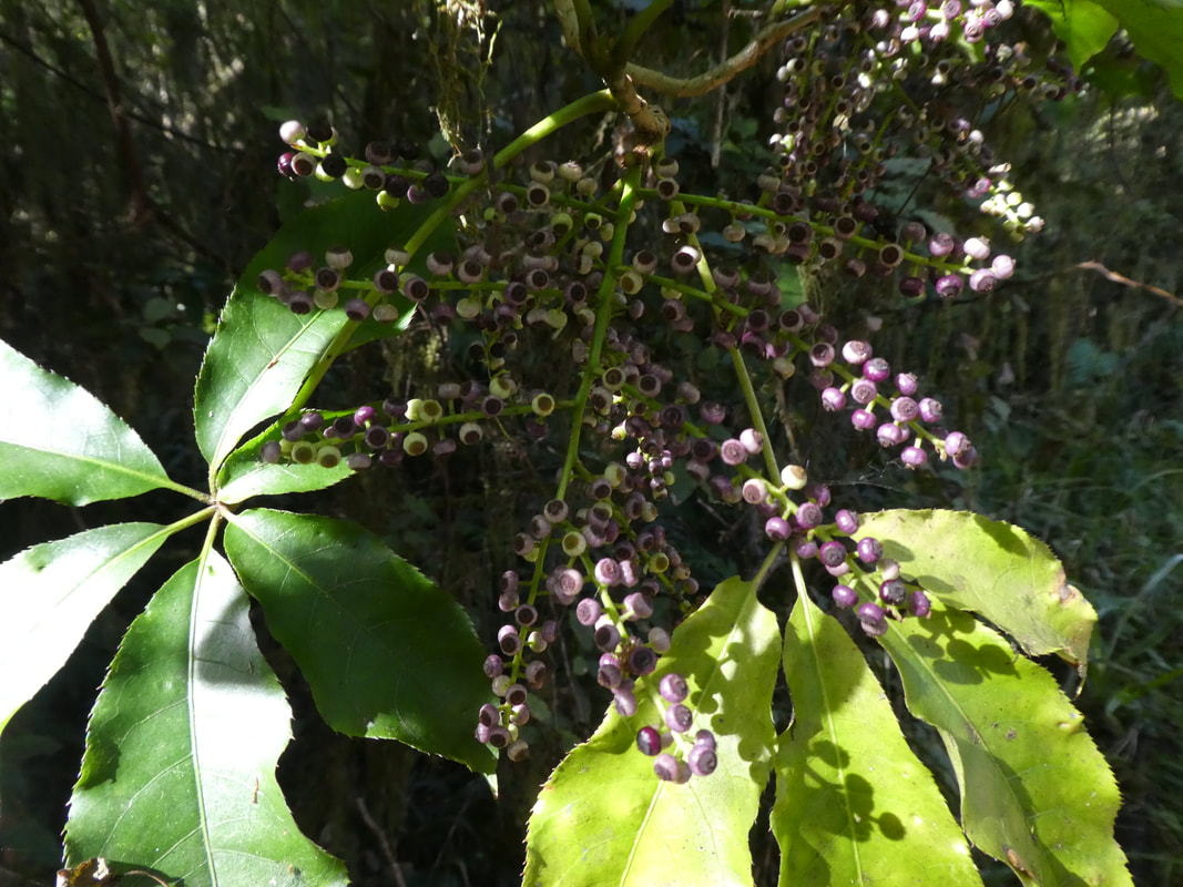
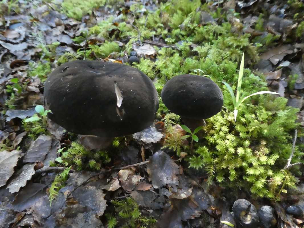
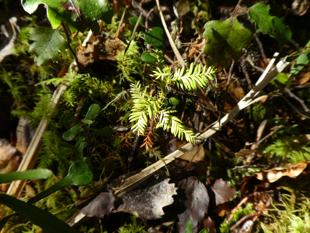
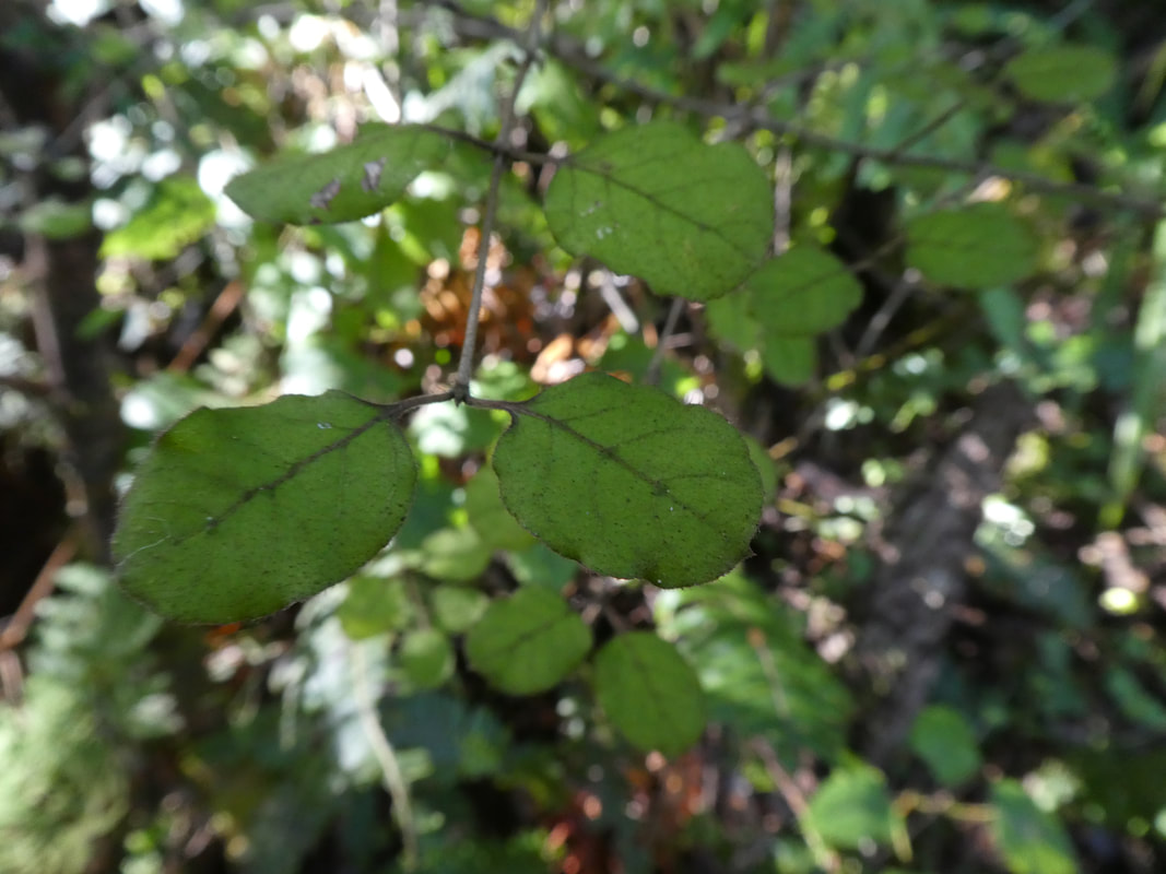
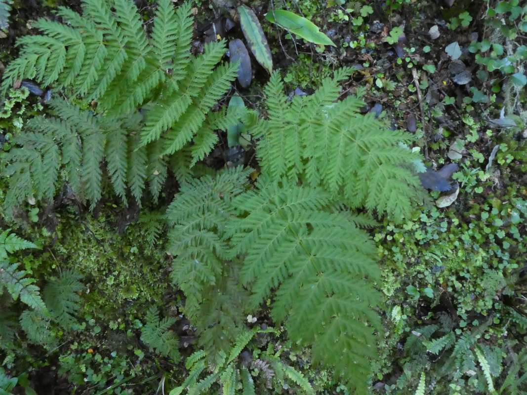
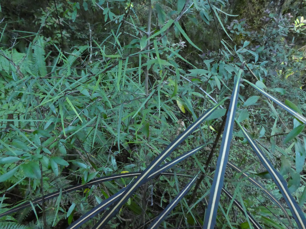
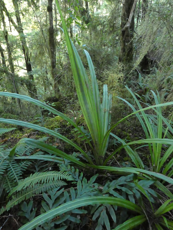
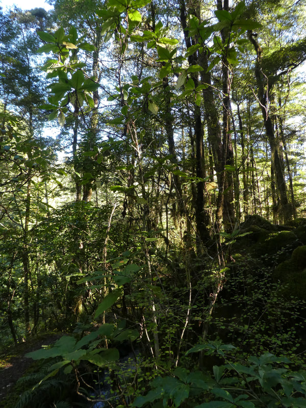
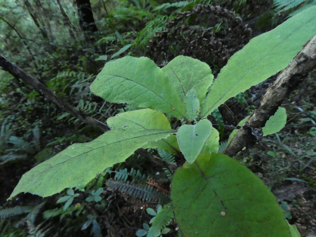
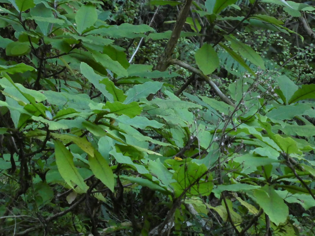
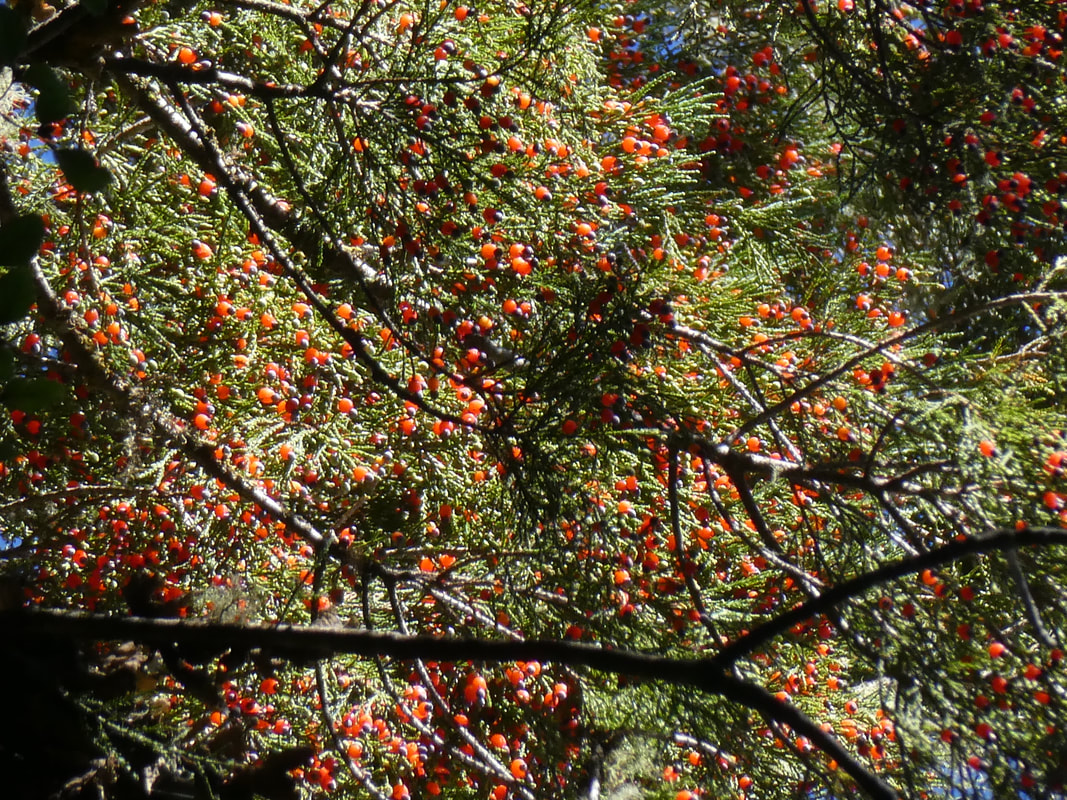
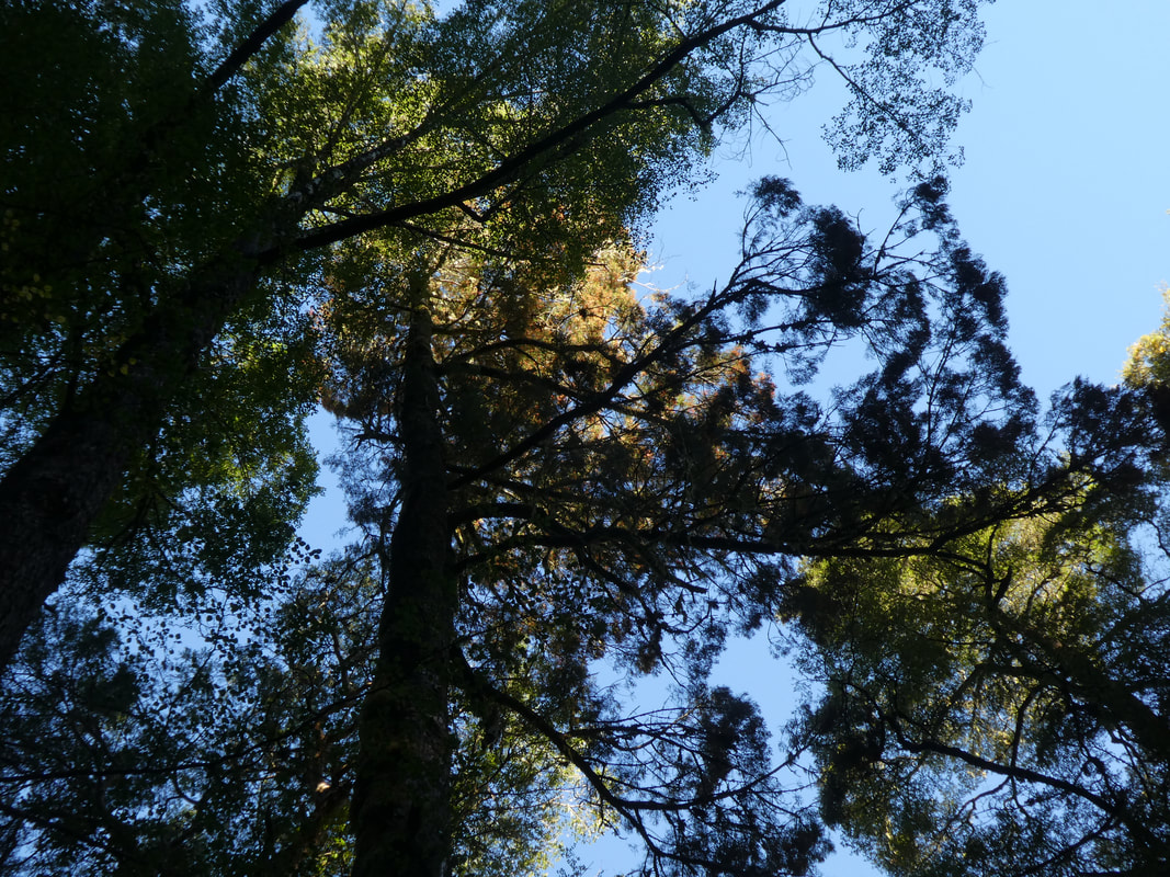
The Forest
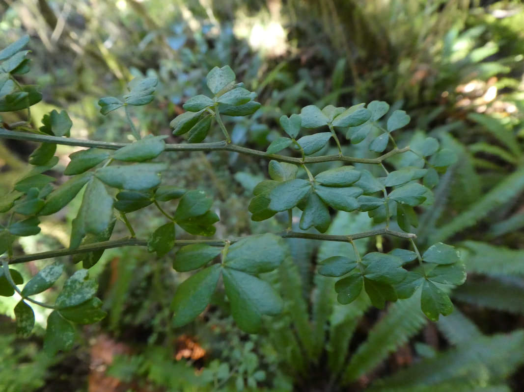
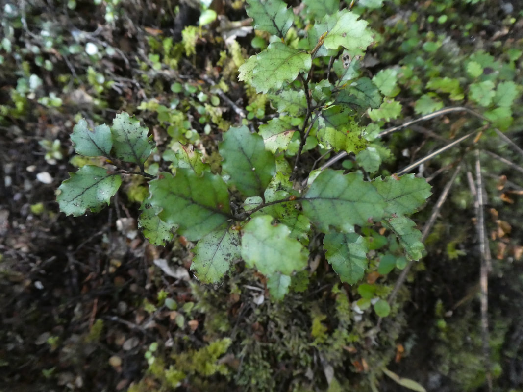
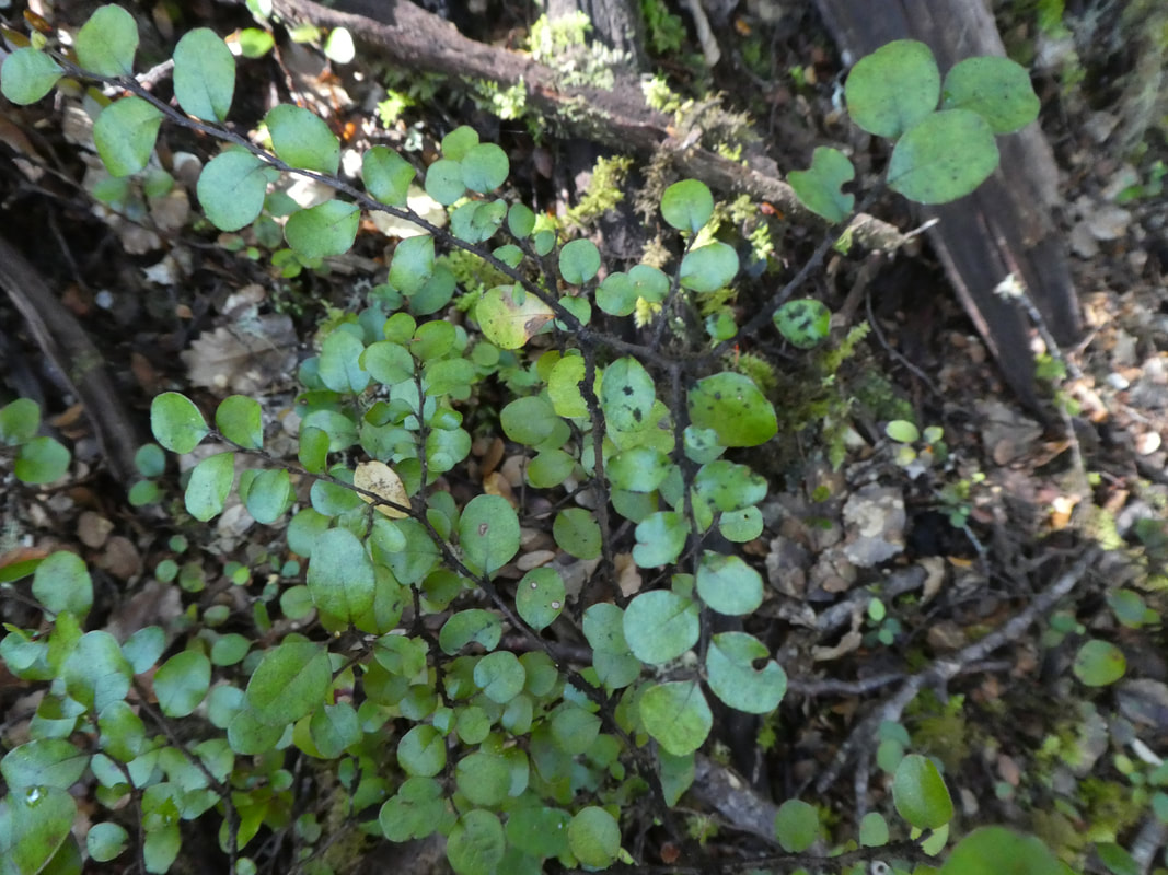
The forest is an excellent example of mixed beech and conifer forest. It is light and airy allowing a wide variety of plants to grow exceptionally well.
There is an abundance of bird life in the forest with many birds singing in the trees. Occasionally smaller birds like Robin and fantail can be easily seen.